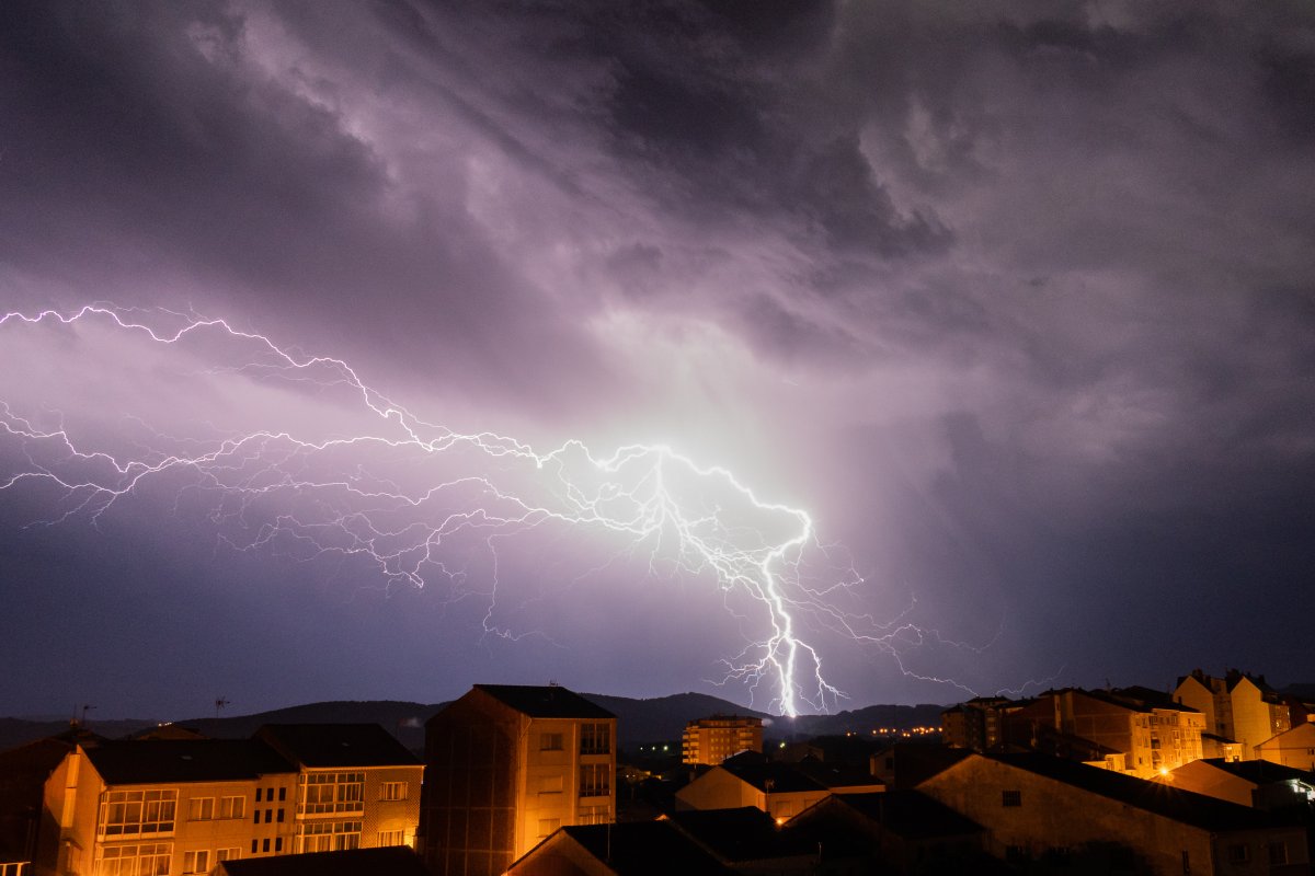
Summer time is thunderstorm time, and in Germany, strong thunderstorms have been occurring due to the persistently high temperatures. This phenomenon is likely to intensify with man-made climate change, as hotter temperatures lead to more extreme weather. To improve the ability to recognize and warn people about storms in the future, scientists are relying on new technology in space.
The European Space Agency (ESA) and the European Organization for the Exploitation of Meteorological Satellites (Eumetsat) have recently published animations from the “Lightning Imager” on board the latest Meteosat-12 satellite. This instrument, developed by Italian aerospace company Leonardo, is the first satellite capable of continuously detecting lightning in Europe, Africa, and the Middle East. It contains four cameras that can record up to 1,000 frames per second from 36,000 kilometers away.
The Meteosat-12 satellite is the first of six third-generation satellites that will contain various instruments for observing weather and atmospheric changes. The recently released animations show recordings of different regions combined with current satellite images of the Earth. These animations are still based on data with a “lower sensitivity setting” due to ongoing calibration, but from 2024, the instrument will provide real-time data to weather services.
Observing lightning activity can help meteorologists make better predictions about the strength of storms and thunderstorms. The high-resolution photos generated by the Lightning Imager instrument are processed on board the satellite using artificial intelligence (AI). Algorithms compress the data and transmit only relevant information to Earth. Machine learning allows the system to use only recordings that actually show lightning activity.
While tracking storms and lightning from space is not entirely new, the Lightning Imager from Meteosat is expected to capture higher-resolution images compared to existing technology. This technology will become increasingly important as extreme weather events are expected to become more frequent in the future.
The German Weather Service predicts more storms, extreme rainfall, and heat waves, while researchers from Austria have observed a significant increase in lightning activity in the higher alpine regions over the past 40 years. This trend aligns with global changes in the climate system.
In conclusion, the use of advanced space technology, such as the Lightning Imager on the Meteosat-12 satellite, will improve the ability to detect and track storms and lightning, aiding in better predictions and warnings for affected regions. This technology is crucial due to the expected increase in extreme weather events caused by climate change.


